Lauria
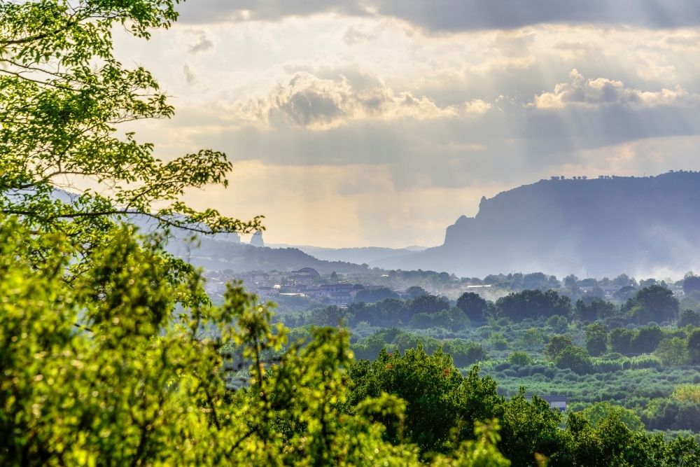
Situated on the lower slopes of Monte Sirino, Lauria is a small but well populated town on the edge of the Pollino National Park.
Lauria - www.understandingitaly.com
Lauria is divided into two sections by a cliff, 'Superiore' which around 500m above sea level and 'Inferiore', around 300m above sea level.
Originally believed to have been called Uria (probably with the added prefix 'La' Uria) the early history of the town is a little unclear. It is known to have been destroyed first by the Romans and then the Visgoths and was rebuilt in the late 5th century before finally being destroyed again by the Saracens during the the early 10th century. After this, a Basilian monastery was established on the site, the major part of which was the Santuario della Madonna dell'Armo.

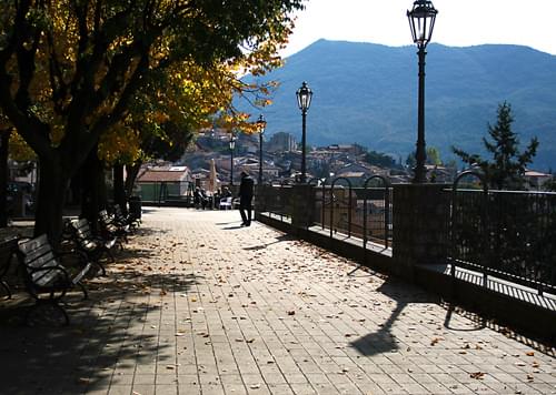
Typical street, Lauria - Photo: www.understandingitaly.com
Lauria was under the control of the Normans by the 12th century and became a political centre with a flourishing economy based on trade and local crafts. By 1655 Lauria had 2500 inhabitants before being hit by the plague which killed over a quarter of them. In 1660 Lauria was granted the privilege of electing its own mayor and began to expand and flourish again. The conditions in most places in Basilicata around this time was appalling and in 1735 the Bourbon King Charles 111 ordered a report on all the towns in the region. Lauria, surprisingly had over 6000 inhabitants and a prosperous wrought iron industry specialising in the production of rifles.
Between 1799-1811 Lauria was occupied by the French, although Lauria continued to support the Bourbons. As a punishment for this the French invaded the town in 1806 burning and destroying most of the churches and public buildings and slaughtering hundreds of men, women and children.
Lauria - Photo: www.understandingitaly.com
Unlike many small towns and villages in Basilicata, Lauria is thriving again with families opting to stay, rather than abandon their homes and lifestyle. The strong, hard working people and the rich soil resulted in a self supporting agricultural society with plenty of food and work for all.
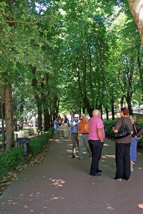
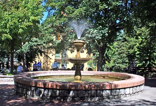
Today Lauria is a pleasant place to be. The town is pretty with steep, winding cobbled streets and spectacular views to the valley below and the mountains above. There are many areas shaded by trees for sitting, drinking coffee or wine whilst watching children playing, meeting friend or just generally observing the world passing by (slowly of course).
Lauria - Photo: www.understandingitaly.com
Lauria is an excellent town to visit for those interested in sporting holidays. From here you can go trekking in the Pollino National Park or Monte Sirino, white water rafting, cycling (serious cylists only), horse riding and rock climbing. In the winter there is skiing with runs of all levels and several ski schools, all very reasonably priced.
There is no longer a train station here but the buses serve the area well and there is plenty of car parking. The town has many facilities including banks, a hospital and shops of all kinds and you can get just about everything you need in the city centre. Close by there are several out of town shopping complexes which are modern and very well equipped.

Rooftops, Lauria
Photo: www.understandingitaly.com
Lauria was also the home and birthplace of Domenico Lentini (1770-1828) and his humble home is still standing today.
Other places of interest include:
- The Santuario della Madonna dell'Armo - situated on a rock overlooking the beautiful Valley.
- The church San Giacomo Apostolo - this church has a stunning 14th century bell tower.
- The church of San Nicola di Bari - Lauria Inferiore - originally built in the 15th century but completely destroyed in 1806.
- The ruins of the Castle of Ruggiero - Lauria Superiore - an interesting castle with an eight sided structure but only one entrance accessed via very steep steps cut into the rock.
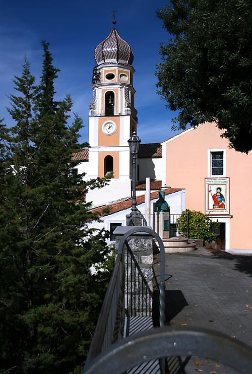
San Giacomo Apostolo, Lauria - Photo: www.understandingitaly.com
Lauria
Population: 13,109
Male: 6,393
Female: 6,716
Population density: 74.6 per square km
More information here